Project Portal
Lee Floodplain Mapping Phase II
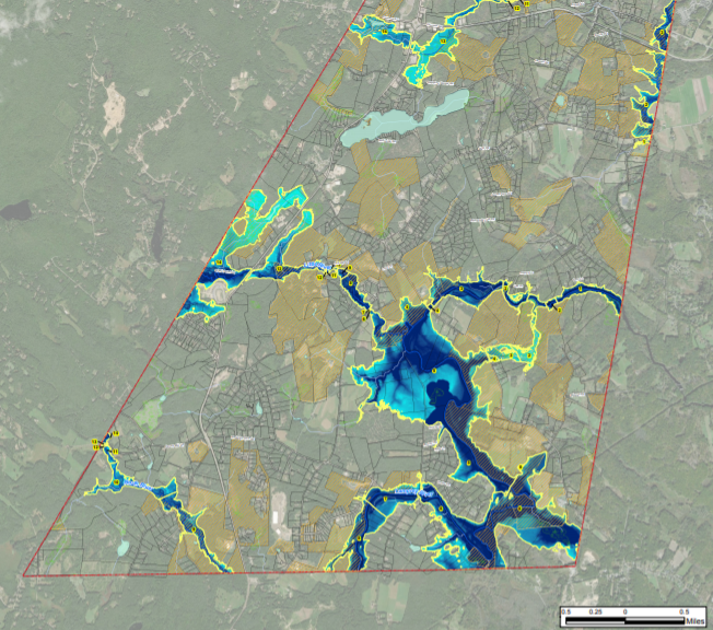
SRPC collaborated with partners from Geosyntec and University of New Hampshire to build on Phase I of the Lee Floodplain Mapping project. Phase II focused on the revision of Lee’s existing floodplain ordinance to define the district boundaries using both the FEMA delineations and the areas within the floodplain study.

