Project Portal
Resilient NH Coasts: NH Coastal Viewer and Data Development
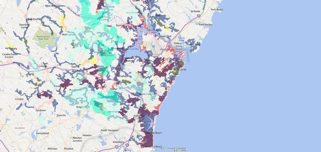
The Coastal Viewer was created by this project. It is an online mapping tool that brings coastal resources spatial data, hazards-related spatial data, and other spatial data sets within NH’s 42 coastal watershed communities together in one place. Users can search for available data sets; display the data sets in multiple ways; and create, print, and share customized maps. Overall, the goals of the Coastal Viewer are to serve as a one-stop shop for all coastal resources and hazards-related spatial data in NH’s coastal watershed; to improve access to new and existing spatial data sets; and to provide information about coastal resources, hazards, and opportunities to reduce risk from these hazards and increase coastal resiliency.

